
Type of territory: rear
Population: 18,333
Area of municipality: 227.544 km²
Priority project:
Reconstruction of the treatment facilities in Radyvyliv
Additional peculiarities of the municipality:
Radyvyliv municipality, located at the intersection of vital transport corridors in Western Ukraine, benefits from exceptional logistical connectivity. The municipality is directly intersected by the M-06 (E-40) Kyiv–Chop international highway, the R-26 regional road, and the Lviv–Zdolbuniv railway corridor, which includes the Radyvyliv freight and passenger rail station.
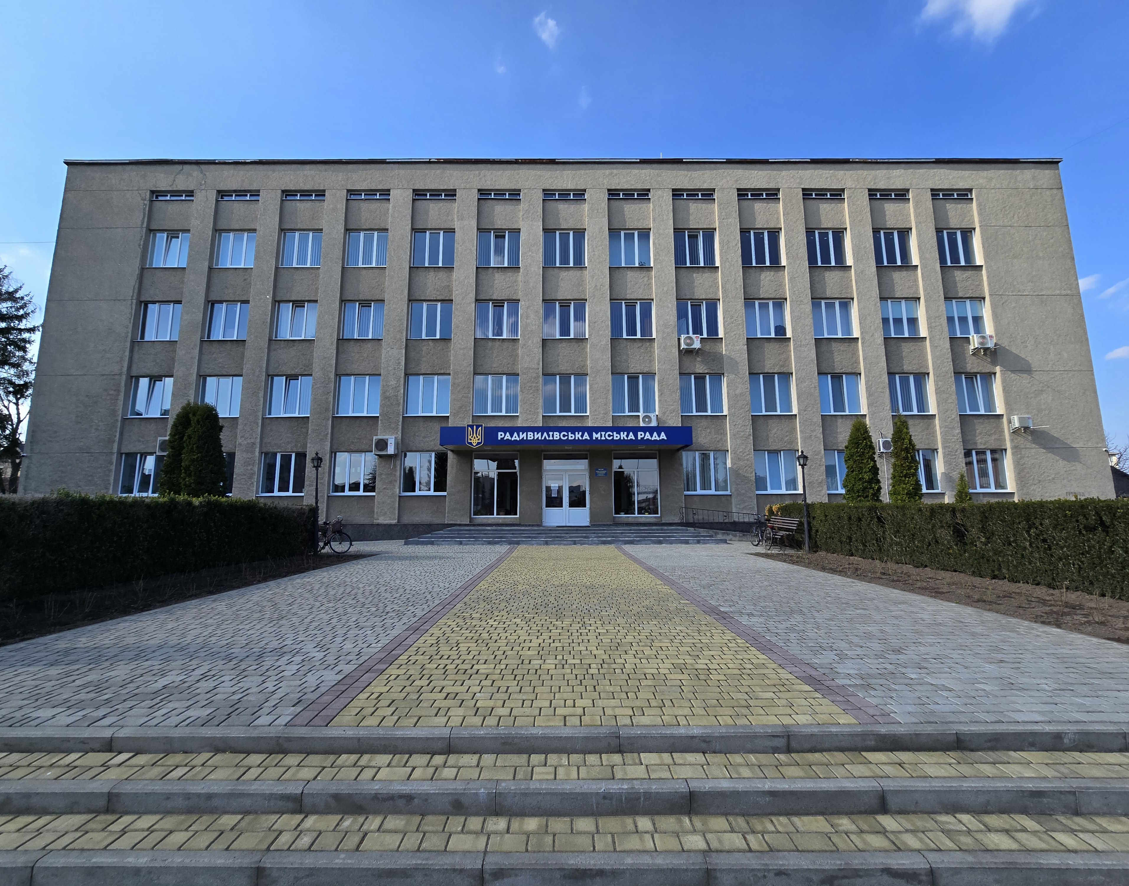
The local economy is driven by an active business environment and a highly developed agricultural sector, supported by a network of over 900 individual entrepreneurs, municipal enterprises, and available brownfield production facilities. The municipality has strong human capital, anchored by a local vocational lyceum that provides a continuous pipeline of skilled labour, and maintains an extensive public infrastructure network including a modern Administrative Services Centre (CNAP).
The local leadership is committed to institutional modernisation and has a proven track record in executing successful development initiatives. For international organisations, development funds, and cross-border investors, this strategically positioned municipality offers a secure, highly accessible platform for projects targeting green energy efficiency, logistical expansion, and innovative economic renewal.
Contact: Ms Inna Gerasymchuk, Secretary of the City Council, inna.ger23@gmail.com